Choose Your Polar Setting
No two corners of the European Arctic feel alike in winter. A base camp at 69°N on the Norwegian coast offers ice-free fjords and mild -4°C evenings thanks to the North Atlantic Current, while forty miles inland across the Finnmark plateau or Swedish border, temperatures plunge to -25°C under crisp continental skies. Choosing well means matching your comfort threshold and daytime interests to the geography beneath your boots.
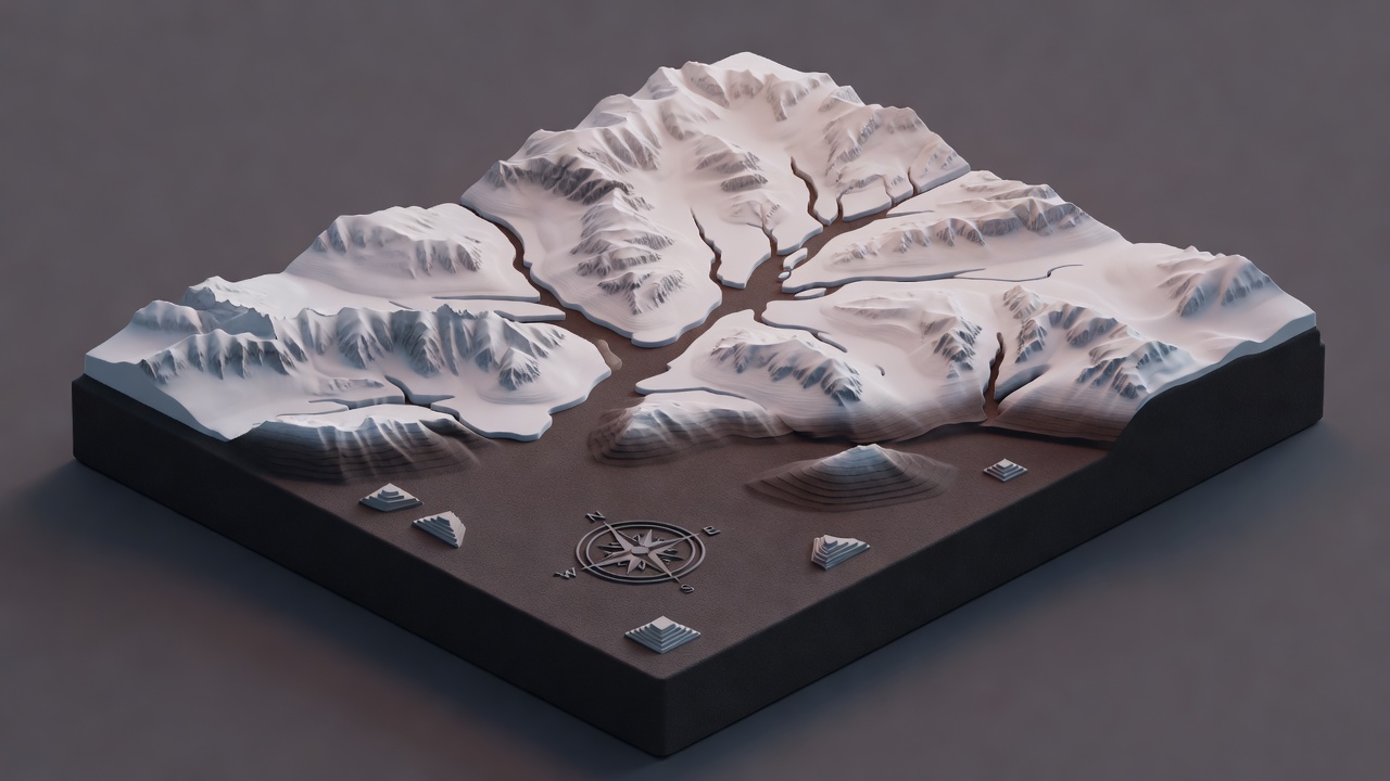
Tromsø, Senja, Lyngen & Lofoten
Northern Norway sits directly beneath the statistical centre of the auroral oval, making even quiet geomagnetic evenings (Kp 1 to Kp 2) capable of producing overhead arcs when skies clear. Equally important for first-time visitors is road infrastructure: intricate networks of bridges, subsea tunnels and well-gritted highways allow you to transit from coastal snow showers into dry inland valleys such as Skibotndalen or Dividalen within ninety minutes.
Tromsø & Kvaløya (69°39′N): Combines university-town museums, historic polar expedition heritage and effortless bus connections with wild western fjords around Sommarøy and Ersfjordbotn. Ideal if you prefer not to drive on winter ice yourself.
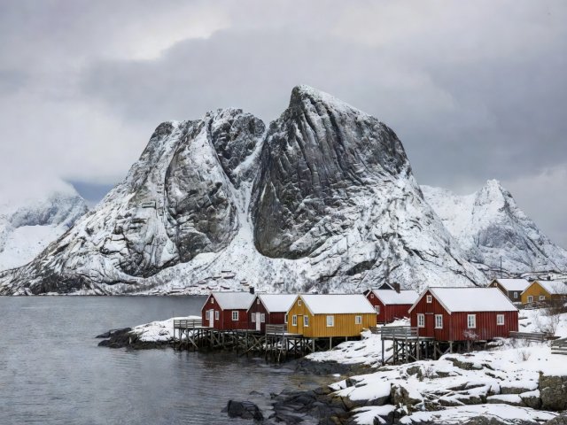
Lofoten & Vesterålen (68°12′N): Granite peaks rising sheer out of the Norwegian Sea create unforgettable foregrounds for daytime twilight photography around Reine, Hamnøy and Uttakleiv. Expect rapid coastal gales and fast-moving cloud gaps that reward patience at a single cabin window.
Microclimate Strategy in Troms
When westerly winds pile damp cloud against outer Kvaløya, look east toward the Lyngen Alps and Storfjord. The 1,800-metre peaks act as a physical barrier, frequently leaving the leeward side around Skibotn clear and dry.
Learn How Orographic Cloud Gaps FormIceland: Dramatic Daytime Relief for Uncertain Nights
Because Iceland sits surrounded by open ocean in the path of the North Atlantic storm track, cloud cover can change three times in a single evening. That makes Iceland the strongest choice for travellers who want deeply rewarding daytime landscapes—glacier tongues, geothermal fumaroles, columnar basalt cliffs and black sand beaches—so the journey feels complete regardless of night sky visibility.
Snæfellsnes Peninsula
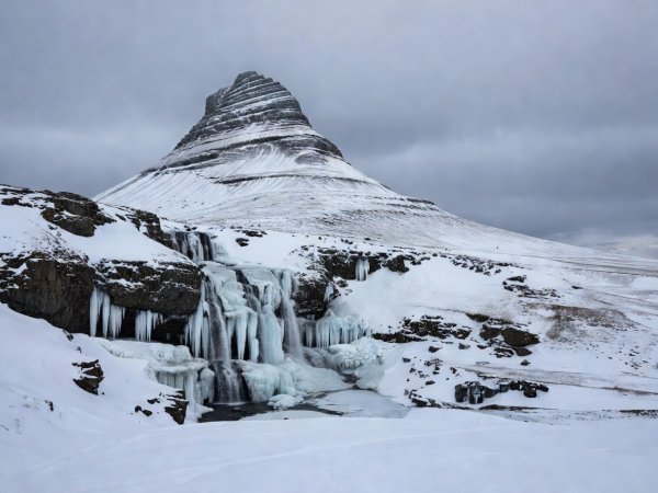
Two hours north-west of Reykjavík, this fifty-mile peninsula condenses lava fields, sea arches at Arnarstapi and the glaciated cone of Snæfellsjökull into one accessible circuit with minimal urban light spill.
Lake Mývatn & Akureyri (65°36′N)
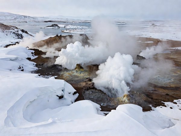
Sheltered behind the central highlands and Vatnajökull ice cap, North-East Iceland often enjoys calmer, colder continental air when southerly storms batter the South Coast.
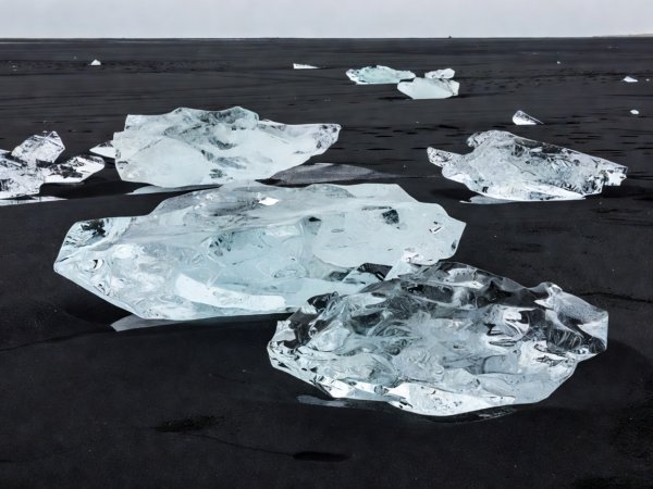
Vatnajökull South-East
Between Vík and Höfn, outlet glaciers calve into tidal lagoons. Always check official road wind-speed gauges on SafeTravel.is before crossing exposed glacial outwash plains in winter.
Inland Lapland & Svalbard
Abisko, Kiruna & Inari (68°N)
Connected by the Arctic Circle Train linking Narvik and Stockholm, Abisko sits on the shore of 70-kilometre Lake Torneträsk. Surrounded by peaks that strip moisture from Atlantic winds, it records some of the lowest winter precipitation totals in Fennoscandia. Prepare for genuine continental cold: -18°C to -30°C is routine in January and February, requiring true expedition down and insulated Sorel-style or Mukluk footwear.
Svalbard & Longyearbyen (78°13′N)
Halfway between mainland Norway and the North Pole, Svalbard experiences twenty-four-hour darkness from mid-November to late January. Because of its extreme high latitude, observers here can witness the rarer daytime cusp aurora—soft red and green emissions occurring around magnetic noon while the sky remains pitch dark. Venturing outside Longyearbyen settlement limits requires qualified local guides due to polar bear safety regulations.
| Destination Region | Mean Jan Temp Range | Primary Weather Pattern | Self-Drive Complexity | Standout Daytime Experience |
|---|---|---|---|---|
| Tromsø & Coastal Islands | -1°C to -8°C | Maritime snow showers & clear intervals | Moderate (studded tyres standard) | Fjord wildlife boats, cable car twilight, polar museum |
| Abisko & Inland Lapland | -12°C to -28°C | Dry continental cold, rain-shadow clearings | Low (direct rail access to station) | Frozen canyon walks, cross-country trails, silent birch forests |
| South & West Iceland | +2°C to -7°C | Fast Atlantic fronts, high wind gusts | High during gales (monitor road alerts) | Waterfalls, geothermal baths, glacier lagoons, basalt coasts |
| Longyearbyen, Svalbard | -10°C to -22°C | Dry high-Arctic wind chill | No inter-town roads (guided excursions) | Ice cave exploration, dog sledding under polar stars |